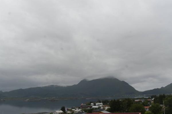
Webcams

E+1
The closest observation stations
Leknes lufthavn
elevation 26 m, 6.4 km from Ramntinden
Temperature atTemperature0.7°Precipitation last 24 hoursPrecipitation 0.7mmWind speed at0.9m/sWind gust at3.0m/sE10 Kåkern bru
elevation 23 m, 22.7 km from Ramntinden
Temperature atTemperature3.9°Precipitation last 24 hoursPrecipitation 0.6mmWind speed at0.6m/sE10 Akkarvika
elevation 54 m, 26.8 km from Ramntinden
Temperature atTemperature3.1°Precipitation last 24 hoursPrecipitation 1.5mmWind speed at1.5m/s
The air around Ramntinden
Air pollution forecast
Ramntinden
:LowLow or no risk for health effects.
Graph which shows air quality for Ramntinden
In the atmosphere
UV forecast
Ramntinden
0No UV radiationGraph which shows UV forecast for Ramntinden Aurora
Ramntinden
Kp index: 2Aurora: Low activity60% cloud coverAurora
Sun and moon
Sun
Night18° below the horizonGraph which shows the sun phases and how high in the sky the sun is for Ramntinden - Sunrise
- Sunset
- Length of day:
- Difference from yesterday:
- Difference from summer solstice:
- Solar noon at
- Next solar eclipse (partial):
Moon
The moon is 17° over the horizon in east
19.1% illuminated, waning crescent
- Moonset in northwest
- Next full moon:
- Next new moon:
- Next lunar eclipse (total):
Water temperatures
Treborneset
4.6 km from Ramntinden
Temperature12.0°Registered by user,
Gravdal
5.3 km from Ramntinden
Temperature12.0°Registered by user,
Vik
11.4 km from Ramntinden
Temperature9.0°Registered by user,
Ramberg
18.5 km from Ramntinden
Temperature11.0°Registered by user,
Skrova
42.5 km from Ramntinden
Temperature10.0°Registered by user,