Webcams

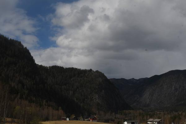
NW
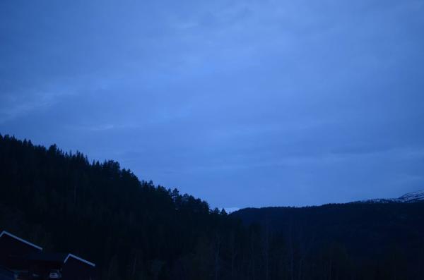
S+1
The closest observation stations
Fv287 Haglebu
elevation 890 m, 4.8 km from Haglebunatten
Temperature atTemperature10.6°Precipitation last 24 hoursPrecipitation 5.3mmWind speed at6.2m/sRv7 Nesbyen
elevation 159 m, 22.9 km from Haglebunatten
Temperature atTemperature14.3°Precipitation last 24 hoursPrecipitation 2.6mmSigdal - nedre Eggedal
elevation 143 m, 26.7 km from Haglebunatten
Temperature atTemperature14.7°Precipitation last 24 hoursPrecipitation 7.0mm
The air around Haglebunatten
Pollen forecast
Central mountain areas in southern Norway
18 July Pollen type Concentration Grass Low19 July Pollen type Concentration Grass LowAir pollution forecast
Haglebunatten
:LowLow or no risk for health effects.
Graph which shows air quality for Haglebunatten
In the atmosphere
UV forecast
Haglebunatten
0No UV radiationGraph which shows UV forecast for Haglebunatten Aurora
Haglebunatten
Kp index: 2Aurora: No activity93% cloud coverAurora
Sun and moon
Sun
Dawn (civil twilight)4° below the horizonGraph which shows the sun phases and how high in the sky the sun is for Haglebunatten - Sunrise
- Sunset
- Length of day:
- Difference from yesterday:
- Difference from summer solstice:
- Solar noon at
- Next solar eclipse (partial):
Moon
The moon is 18° under the horizon in southwest
86.5% illuminated, waxing gibbous
- Moonset in southwest
- Moonrise in south
- Next full moon:
- Next new moon:
- Next lunar eclipse (partial):