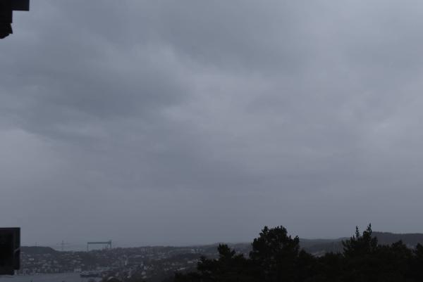
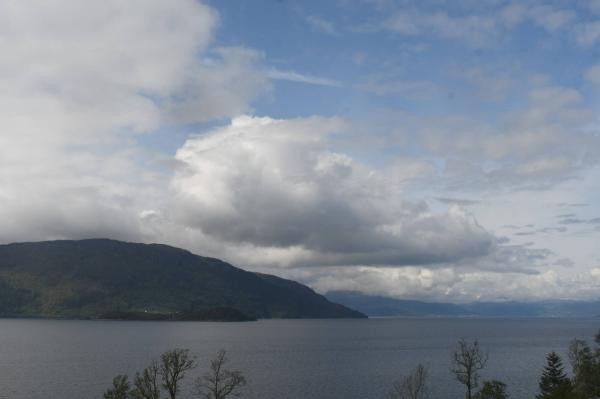
Webcams

S+1
N+1
The closest observation stations
Opstveit
elevation 38 m, 14.1 km from Langgåta
Temperature atTemperature6.5°Precipitation last 24 hoursPrecipitation 2.6mmStord lufthavn
elevation 49 m, 26.4 km from Langgåta
Temperature atTemperature8.5°Wind speed at4.3m/sWind gust at5.5m/s
The air around Langgåta
Air pollution forecast
Langgåta
:LowLow or no risk for health effects.
Graph which shows air quality for Langgåta
In the atmosphere
UV forecast
Langgåta
0No UV radiationGraph which shows UV forecast for Langgåta Aurora
Langgåta
Kp index: 6Aurora: Low activity68% cloud coverAurora
Sun and moon
Sun
Night26° below the horizonGraph which shows the sun phases and how high in the sky the sun is for Langgåta - Sunrise
- Sunset
- Length of day:
- Difference from yesterday:
- Difference from summer solstice:
- Solar noon at
- Next solar eclipse (partial):
Moon
The moon is 5° under the horizon in southwest
77.4% illuminated, waxing gibbous
- Moonrise in southeast
- Next full moon:
- Next new moon:
- Next lunar eclipse (partial):
Water temperatures
Kyvik
15.7 km from Langgåta
Temperature15.0°Registered by user,
Søre Dåfjorden
25.5 km from Langgåta
Temperature13.7°Registered by Pretello.com,
Ølen
31.5 km from Langgåta
Temperature13.3°Registered by user,
Vinnesholmen
31.7 km from Langgåta
Temperature13.3°Registered by Badetassen.no,
Mobergsvikjo
36.8 km from Langgåta
Temperature13.7°Registered by Badetassen.no,
Vetle Hestholmen
38.4 km from Langgåta
Temperature14.3°Registered by Badetassen.no,