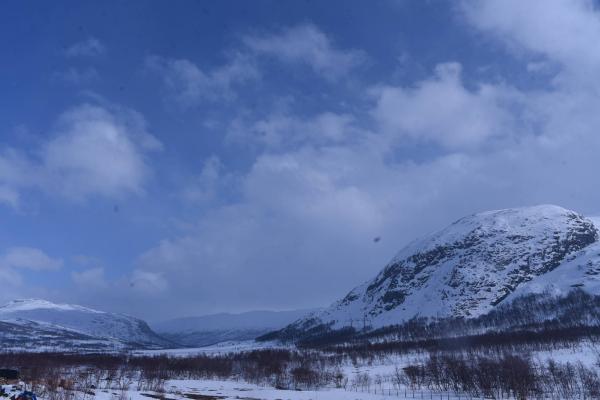
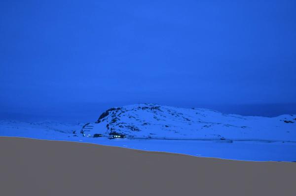
Webcams


SE
S+2
The closest observation stations
E16 Hugavika
elevation 469 m, 15.7 km from Rankonøse
Temperature atTemperature3.5°Wind speed at2.5m/sHemsedal - Hollekolten
elevation 807 m, 19.4 km from Rankonøse
Temperature atTemperature-0.3°Wind speed at3.3m/sWind gust at5.5m/sRv52 Hemsedalsfjellet
elevation 1130 m, 19.8 km from Rankonøse
Temperature atTemperature-2.4°Precipitation last 24 hoursPrecipitation 0.1mmWind speed at4.5m/s
The air around Rankonøse
Air pollution forecast
Rankonøse
:LowLow or no risk for health effects.
Graph which shows air quality for Rankonøse
In the atmosphere
UV forecast
Rankonøse
0No UV radiationGraph which shows UV forecast for Rankonøse Aurora
Rankonøse
Kp index: 2Aurora: No activity69% cloud coverAurora
Sun and moon
Sun
Dawn (nautical twilight)7° below the horizonGraph which shows the sun phases and how high in the sky the sun is for Rankonøse - Sunrise
- Sunset
- Length of day:
- Difference from yesterday:
- Difference from summer solstice:
- Solar noon at
- Next solar eclipse (partial):
Moon
The moon is 24° over the horizon in east
11.3% illuminated, waning crescent
- Moonrise in northeast
- Moonset in northwest
- Next full moon:
- Next new moon:
- Next lunar eclipse (total):
Water temperatures
Oppsjø
46 km from Rankonøse
Temperature17.6°Registered by Badetassen.no,